
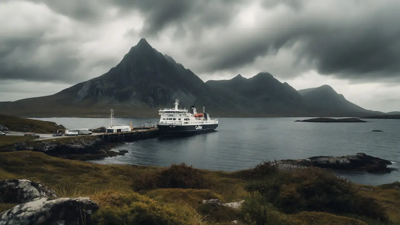
You’ve likely seen the photos. The jagged spine of rock cutting into a grey sky, the green slopes that look too perfect to be real, and the winding road that seems to hang off the edge of the world. That’s the Trotternish Loop, a 30-mile circuit around the northern tip of the Isle of Skye in Scotland’s Inner Hebrides. But here’s the thing most travel blogs won’t tell you: if you’re arriving by ferry from Ullapool, your journey starts at Uig, and treating it as just a transit point is a mistake.
Most visitors rush past Uig, eager to hit the famous Old Man of Storr or the Fairy Pools. They miss the raw, dramatic beauty of the Trotternish Peninsula entirely. This loop isn’t just a drive; it’s a pilgrimage through some of the most geologically active and visually stunning landscapes in Europe. Whether you’re hiking the coastal paths or driving the single-track roads, this guide breaks down exactly how to tackle the north end of Skye without losing your mind-or your view.
The Gateway: Why Start at Uig?
Uig is the primary ferry port for CalMac ferries coming from Ullapool on the Scottish mainland. It’s also the hub for local bus services and the starting point for many coastal hikes. If you’re driving from Glasgow or Edinburgh, you’ll cross the bridge to Kyle of Lochalsh and head north, but if you’re taking the ferry, you land right in the thick of it.
Why does this matter? Because the weather on Skye changes fast. Starting your Trotternish Loop from Uig allows you to tackle the most exposed sections early, before afternoon fog rolls in over the Cuillins. Plus, Uig has decent facilities-cafes, toilets, and parking-that make it a solid base camp. Don’t skip the walk up to the Duntulm Castle ruins nearby; they offer a free, panoramic view of the Sound of Raasay that rivals any paid attraction.
Driving the Trotternish Loop: What to Expect
The Trotternish Loop is roughly 50 kilometers (30 miles) long. In good conditions, you can drive it in about two hours. In reality? Budget four to six hours. Why? Because you will stop. A lot. The road is narrow, often single-track, with passing places that require patience and courtesy. There are no guardrails in many spots, so keep your eyes on the cliff edges.
| Location | Distance from Uig | Highlight | Time Needed |
|---|---|---|---|
| Duntulm Castle | 5 km | Ruins & Sea Views | 30 mins |
| Staffin Bay | 12 km | Fossil Beach | 45 mins |
| Quiraing | 20 km | Massive Landslide View | 2-3 hours |
| Kilt Rock | 28 km | Waterfall Drop | 20 mins |
| Old Man of Storr | 35 km | Rock Formations | 1-2 hours |
The clockwise direction is standard, but counter-clockwise works too. Clockwise gets you to the Quiraing first, which is usually the highlight. Counter-clockwise lets you save the best for last. I prefer clockwise because it helps manage traffic flow during peak summer months, getting you away from the main tour buses heading toward Portree.
The Quiraing: More Than Just a Photo Op
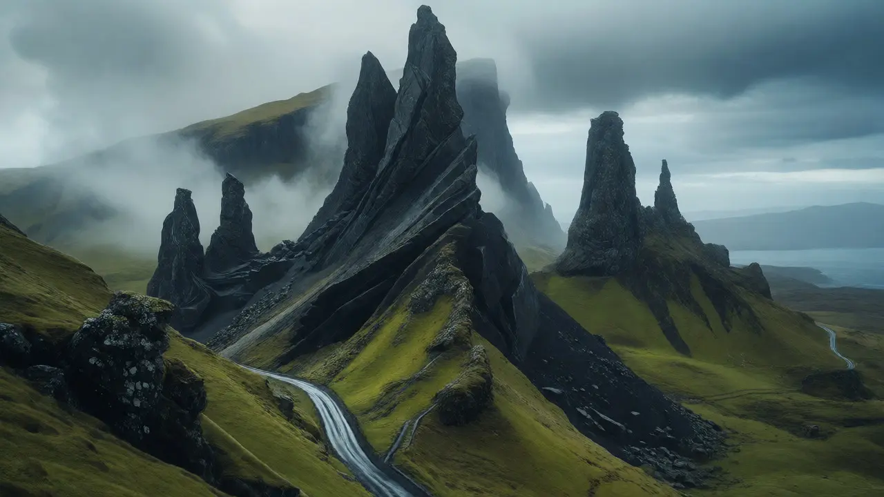
If there’s one reason people come to the Trotternish Peninsula, it’s the Quiraing. This isn’t just a hill; it’s a massive ancient landslide. About 7,000 years ago, a huge chunk of the basalt plateau slid down, leaving behind these bizarre, twisted pinnacles of rock. It looks like something out of a fantasy novel-and yes, parts of Stardust and Prometheus were filmed here.
You don’t have to hike the full loop to enjoy it. The car park is right off the road, and the views from the top are accessible within 20 minutes of walking. However, if you’re fit, do the loop. It takes about 2-3 hours and covers rugged terrain. Watch your step-the ground is uneven, and visibility can drop suddenly due to cloud cover. The "Prison" and "Needle" rock formations are the iconic shots, but the sense of scale is what hits you hardest. Standing on that ridge, looking down at the sea crashing against the cliffs below, makes you feel incredibly small.
Coastal Walks Beyond the Car Park
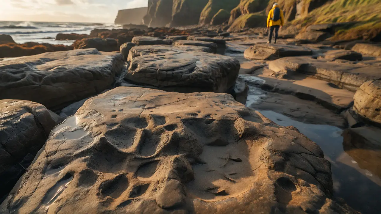
While the Quiraing steals the spotlight, the coastal walks along the Trotternish coast are underrated gems. The path from Staffin Bay to Digg is particularly rewarding. Staffin Bay is known for its dinosaur footprints. Yes, actual fossilized tracks left by dinosaurs millions of years ago are visible in the sandstone rocks at low tide. Check the tide tables before you go; missing the window means wading through knee-deep water or waiting hours.
Further north, near Brogaig, you’ll find quieter stretches of coastline where seals often haul out on the rocks. These aren’t crowded tourist traps. They’re wild, windy, and often empty. Bring layers. The wind chill here can be brutal, even in July. A waterproof jacket isn’t optional-it’s essential. And wear proper boots. The grass paths get muddy quickly, and the terrain is rough.
Cliff Safety and Weather Realities
Let’s talk safety. The cliffs on the Trotternish Loop are not fenced. There are no barriers between you and a 100-meter drop into the Atlantic Ocean. People die every year because they take selfies too close to the edge. Keep your distance, especially if it’s windy or wet. The rock surfaces can be slippery, and gusts can knock you off balance unexpectedly.
Weather on Skye is unpredictable. You might experience four seasons in an hour. One minute you’re baking in the sun, the next you’re in a dense fog bank. Always check the forecast on the Met Office website before setting out, but be prepared for anything. If visibility drops below 100 meters, consider turning back or waiting it out. Driving in fog on single-track roads with blind corners is stressful enough without worrying about pedestrians.
Where to Eat and Rest
Food options on the loop are limited but high quality. In Uig, try the Skye Bakery for fresh scones and pies. It’s cheap, cheerful, and fills you up for the day. Further along, the Flora MacDonald Hotel in Edinbane offers reliable meals, though it’s slightly off the loop. For something special, book ahead at restaurants in Portree, the capital town, which sits at the southern end of the loop.
Don’t underestimate the importance of rest stops. The loop is mentally draining due to constant driving focus and photo opportunities. Plan breaks. Sit in a cafe, watch the rain pass, and regroup. Rushing leads to accidents and missed details.
Final Tips for Your Visit
- Fuel Up: Gas stations are scarce in the north. Fill your tank in Uig or Broadford before starting the loop.
- Cash is King: Some smaller cafes and parking areas may not accept cards. Carry small notes.
- Respect Locals: Use passing places correctly. Don’t block driveways. Slow down for livestock.
- Leave No Trace: Take all litter home. The landscape is fragile.
- Camera Gear: Bring a polarizing filter to cut glare from wet rocks and enhance blue skies.
The Trotternish Loop isn’t just a checklist item. It’s an experience. It demands respect for nature, patience with other drivers, and flexibility with plans. Do that, and you’ll leave with memories that stick far longer than any Instagram post.
How long does it take to drive the Trotternish Loop?
Pure driving time is about 2 hours, but realistically, plan for 4 to 6 hours including stops for photos, short walks, and potential traffic delays. Single-track roads slow progress significantly.
Is the Quiraing hike difficult?
The full loop is moderate to challenging due to uneven terrain, steep sections, and exposure to weather. It takes 2-3 hours. Shorter viewpoints are accessible with minimal effort from the car park.
Can I see dinosaur footprints at Staffin Bay?
Yes, fossilized dinosaur footprints are visible in the sandstone rocks at Staffin Bay, but only at low tide. Check local tide times before visiting to ensure access.
What should I pack for a trip to Uig and the Trotternish Loop?
Pack waterproof clothing, sturdy hiking boots, warm layers, cash, and a charged camera. Weather changes rapidly, and facilities are sparse along the loop.
Is Uig worth stopping at if I'm driving from the south?
Absolutely. Uig offers great views of the Cuillin mountains, access to Duntulm Castle ruins, and serves as a convenient fuel and food stop before entering the more remote northern peninsula.