
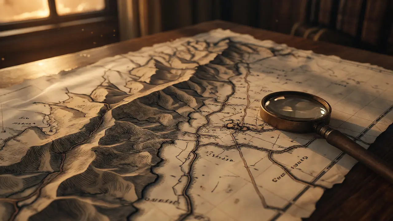
You know that feeling when you’re driving through the Highlands or walking a path in the Lowlands, and you swear the landscape looks exactly like it did two centuries ago? That’s not just your imagination. The bones of Scotland are etched into its geography, and if you want to understand why a village sits where it does, or why a border cuts through a hillside rather than following a river, you need to look at historic maps of Scotland. These aren’t just pretty pictures for your wall; they are data sets from another time.
Living here in Dundee, I’ve spent more hours than I care to admit staring at digitized scans of 18th-century surveys. It changes how you see the place. You stop seeing just trees and tarmac and start seeing the ghost lines of drovers’ routes, the remnants of clan boundaries, and the industrial scars that defined the 19th century. If you’re a historian, a genealogist, or just someone who loves getting lost in the details, knowing how to read these old charts is a superpower. Here is how you can use historic mapping to unlock the stories hidden in the Scottish landscape.
Why Old Maps Are More Than Just Pictures
Most people think of maps as neutral records of reality. They aren’t. Every map is an argument about what matters. When General Roy commissioned his military survey after the Jacobite rising of 1745, he wasn’t trying to help tourists find their way. He wanted to know where troops could march and where ambushes were likely. So, his map emphasized roads, bridges, and defensible positions. It ignored things that didn’t matter to a soldier, like small hamlets or local field names.
Fast forward to the Ordnance Survey’s first detailed one-inch maps in the 1840s. Suddenly, the focus shifted to property, agriculture, and taxation. You started seeing field boundaries, drystone dykes, and specific land uses. This shift tells you everything about the priorities of the era. If you’re researching your family history, this distinction is crucial. A relative might have lived in a place that appears on a Roy map but vanishes from later ones because it was cleared during the Highland Clearances, or vice versa-a new mining settlement appears out of nowhere in the mid-1800s because coal became king.
The key takeaway? Always ask who made the map and why. A church map focuses on parish bounds. An estate map focuses on tenant rents. Understanding the intent behind the ink helps you interpret the gaps and the emphases.
Tracing the Ghost Lines of Old Roads
If you’ve ever wondered why modern motorways take such strange detours, look at the old road networks. Before the turnpike trusts of the 18th century built engineered highways, travel in Scotland relied on ancient tracks. Some were prehistoric, some medieval, and many were simply cow paths worn into the mud by centuries of livestock movement.
Drovers’ roads are particularly fascinating. These weren’t designed for speed; they were designed for survival. Cattle being walked from the Highlands to southern markets needed water, grazing, and shelter. As a result, drover routes often follow high ground to avoid boggy valleys and stick close to natural water sources. On a modern OS map, you might see a faint track running along a ridge. On a historic map from 1820, that same line might be marked as a primary route. Following these lines reveals a network of inns, smithies, and cattle fairs that sustained entire communities.
| Map Era | Primary Focus | Road Representation | Utility for Modern Travelers |
|---|---|---|---|
| 1747-1755 (Roy Military Survey) | Tactical movement | Major routes only; rough accuracy | Identifies strategic passes and early settlements |
| 1790-1830 (Turnpike Era) | Commercial transport | Engineered roads, toll houses | Shows origins of modern A-roads |
| 1840s-1880s (OS One-Inch) | Property & Taxation | Detailed footpaths, minor lanes | Reveals lost villages and field patterns |
Don’t ignore the minor tracks. In the Trossachs or around Perthshire, many "unofficial" hiking trails today are actually revived sections of these old drover paths. Using a historic overlay app on your phone while walking lets you spot the junctions where three routes met-often the site of a now-vanished pub or market square.
Borders That Shifted Like Sand
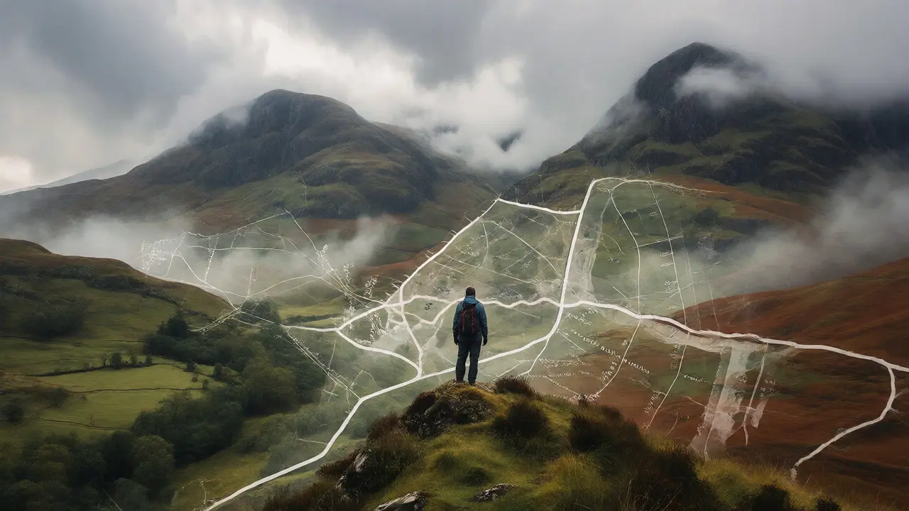
We tend to think of national borders as permanent lines drawn in stone. In Scotland, especially before the Union with England in 1707, borders were fluid. But even within Scotland, internal borders mattered immensely. Parish boundaries, barony limits, and county lines dictated legal jurisdiction, poor law relief, and even dialect zones.
Take the Anglo-Scottish Border. It wasn’t always the clean line we see today. For centuries, the Debatable Lands existed in a legal gray zone, controlled by neither side effectively. Historic maps from the 16th and 17th centuries show this area as a patchwork of fortified towers and shifting allegiances. If you’re tracing ancestry near Berwick-upon-Tweed, you’ll find records bouncing between English and Scottish jurisdictions depending on the year and which lord held sway.
Internal borders are trickier. Many modern council areas don’t match historic counties. Fife, for instance, has remained remarkably stable, but other regions saw significant tweaks during the Local Government Act of 1975 and again in 1996. If you’re looking for a birth record from 1890, you need to know which county it fell under then, not now. Historic maps often include inset keys showing these administrative divisions. Without them, you might search the wrong archive entirely.
A pro tip: Look for "parish maps." These were often produced separately for ecclesiastical purposes. Since civil registration in Scotland began in 1855, knowing the parish boundary is essential for finding baptismal records prior to that date. The church knew who belonged to whom long before the state did.
Resources: What Was Mined, Grown, and Built
Scotland’s economy was built on its resources, and old maps document the extraction methods better than any text. Coal, iron, slate, granite, and peat all left physical marks on the landscape that are visible on historic surveys.
In the Central Belt, maps from the mid-19th century are dense with colliery symbols. But look closer. You’ll see tramways connecting mines to railheads. You’ll see bings (waste heaps) growing larger over successive decades. This allows you to track the lifespan of a mine. If a symbol disappears between the 1850s and 1890s editions, the pit closed. Why? Maybe the seam ran out, maybe the price dropped, or maybe the workforce moved to Glasgow’s shipyards. The map doesn’t tell you the story, but it gives you the timeline.
Slate quarrying in the Highlands offers another example. Maps from Argyll and Bute show extensive workings that are now buried under bracken or submerged by reservoirs. Knowing where these quarries were helps explain why certain remote glens had large populations in the 1800s-they were industrial hubs, not just pastoral backwaters. Similarly, granite quarries near Aberdeen shaped the city’s expansion and the railway lines that served them.
- Coal: Look for dense clusters of shafts and tramways in Lanarkshire and Ayrshire.
- Iron: Identify blast furnace sites near rivers for water power in the early 19th century.
- Timber: Early maps show forest extents before the great clearances removed much native woodland.
- Fishing: Coastal charts detail harbor developments and fish curing stations.
These resource markers are gold for industrial archaeology. If you’re visiting a rural area, checking the 1890s map against the present day can reveal foundations of engine houses or slag heaps that are invisible to the naked eye until you know where to look.
Where to Find the Best Digital Archives
You don’t need to fly to Edinburgh to see these treasures anymore. Digitization has put most major collections online, though quality varies. Here are the heavy hitters you should bookmark.
National Records of Scotland (NRS) is the primary source. Their website hosts the full series of Ordnance Survey maps, including the 6-inch and 25-inch scales, which offer incredible detail. You can view these in layers, comparing different years side-by-side. The interface isn’t always intuitive, but the depth of content is unmatched. Start with the 1850s one-inch maps for a broad overview, then drill down to 25-inch maps for street-level detail in towns.
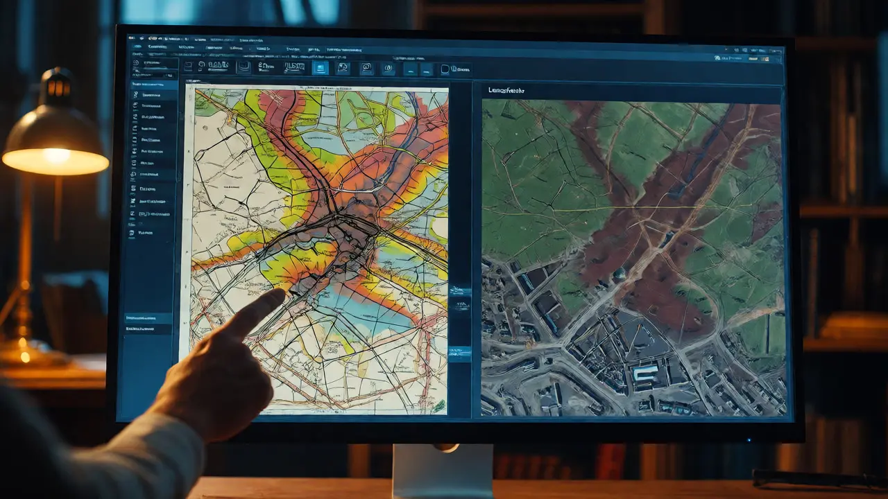
National Library of Scotland (NLS) holds the largest collection of printed maps in the country. Their digital portal includes not just OS maps but also estate plans, county atlases, and thematic maps like geology or soil types. Their interactive viewer allows you to overlay historic maps onto modern satellite imagery, which is mind-blowing for visualizing urban change. Try overlaying a 1900 map of Glasgow onto today’s view-you’ll see how entire neighborhoods vanished for housing schemes and motorways.
For local specifics, check regional archives. The Highland Council Archive or Aberdeenshire Archives often hold unique estate papers and hand-drawn surveys that never made it to the national library. If you’re researching a specific estate, contacting the local archivist directly can yield results that general searches miss.
How to Read a Map Like a Pro
Old maps use a language of symbols that differs from modern GPS interfaces. Learning to decode this prevents misinterpretation.
First, check the scale. The famous "one-inch to the mile" map is great for context, but it omits small features. The six-inch map shows individual fields and buildings. The twenty-five-inch map is so detailed it can show garden fences and shed locations. If you’re looking for a specific house, you need the larger scale.
Second, understand the hachures. Before contour lines became standard, cartographers used hachures-short parallel lines-to indicate slope steepness. Dense hachures mean a steep cliff or crag. Sparse hachures mean gentle slopes. This technique is common in Roy’s maps and early OS editions. It’s harder to read than contours, but it gives a dramatic sense of terrain ruggedness.
Third, watch for "ghost" features. Sometimes, a building is shown as a solid block in one edition and a dashed outline in the next, indicating demolition. Or a road might appear as a dotted line, meaning it’s a footpath, not a carriage road. These subtle distinctions save you from assuming a feature existed when it didn’t, or vice versa.
Finally, compare multiple sources. Estate maps might label a farm differently than the OS map. Church maps might highlight the kirk but ignore the school. Cross-referencing builds a fuller picture. If three independent maps agree on a feature’s location, it’s likely accurate. If they disagree, dig deeper into the original documents.
Are historic maps of Scotland free to access?
Yes, most major collections are free online. The National Library of Scotland and National Records of Scotland provide high-resolution scans without subscription fees. However, downloading very high-resolution TIFF files for professional printing may require a fee or account registration. Viewing and basic analysis are completely free.
Which map series is best for genealogy research?
The Ordnance Survey One-Inch series (1840s onwards) is excellent for locating ancestral villages and parishes. For more precise addresses, especially in urban areas, the Six-Inch or Twenty-Five-Inch series from the late 19th and early 20th centuries are superior. They show individual houses, allowing you to pinpoint exactly where your ancestors lived relative to landmarks.
How accurate are General Roy's military maps?
Roy’s maps (1747-1755) are surprisingly accurate for their time regarding triangulation and main routes, but they lack detail in minor features. They are invaluable for understanding the landscape before the Highland Clearances and the introduction of turnpike roads. However, do not expect them to show every cottage or field boundary; they were tactical tools, not cadastral surveys.
Can I use historic maps for hiking navigation?
Use them for planning, not real-time navigation. Historic maps reveal old paths that may no longer exist or are overgrown. Conversely, they show routes that have been forgotten but are still walkable. Always cross-reference with current OS Explorer maps and local knowledge, as vegetation growth, forestry plantations, and private fencing can obscure historic rights of way.
What do the different colors on old maps signify?
In early monochrome maps, color was added manually or via limited lithography. Later OS maps standardized colors: blue for water, black for man-made structures and text, brown for relief/contours, green for woodland, and red for roads (in later editions). Earlier maps might use pink for boundaries or yellow for roads. Always check the legend or key provided with the specific map sheet.
Comments (10)
-
Brannen Hall September 18, 2026
Actually, the Roy survey was largely useless for civilian navigation because it prioritized military defensibility over practical travel routes, so calling it a 'superpower' for general understanding is a massive overstatement.

-
Elisabeth Ballet September 20, 2026
You're missing the point entirely. The value isn't in using Roy's maps to drive your car today, but in understanding the intent behind the cartography. When you realize that a road exists not because people wanted to go there, but because a general needed to march troops through a specific pass, you start seeing the landscape as a political document rather than just terrain. That shift in perspective is what unlocks the history of why certain villages survived and others were cleared away. It’s about reading the silence between the lines, not just the ink on the page.

-
Brannen Hall September 22, 2026
Political document? Please. It was a tactical tool with poor resolution for anything below a regimental level. You’re projecting modern academic theory onto 18th-century field sketches that were often drawn by underpaid surveyors working in terrible weather. Most of those 'ghost lines' are just errors or temporary tracks that vanished within a decade. Stop romanticizing bad data.
-
tiffany King September 23, 2026
This is such a beautiful way to look at home! I’ve always felt a deep connection to the land here, and knowing that these old maps hold the secrets of who walked where makes every hike feel like a conversation with the past. Thank you for sharing this insight!

-
Elizabeth Brooks September 23, 2026
Great post! Just a heads up for folks doing genealogy research: don't forget to check the National Library of Scotland's georeferenced map viewer. It allows you to slide a historic map over the current satellite view which is super helpful when trying to locate an ancestor's exact house lot. Also, watch out for spelling variations in parish names; they changed a lot before standardization kicked in fully in the late 19th century. Happy hunting!

-
alex kobri September 24, 2026
maps are memories
we walk on ghosts
the roads remember what we forget
i think about how the land holds its breath waiting for us to read it right

-
Courtney Wagstaff September 25, 2026
Love the vibe here! 🗺️✨ It’s wild how much story is baked into the dirt. Like, that one track near my place? Turned out it was a drovers’ route from 1820. Now it’s just a muddy shortcut for my dog, but knowing it was once a highway for cattle gives it such a cool backstory. Definitely going to download those NLS layers now.

-
michelle veluz September 27, 2026
I have been saying this for YEARS!!! The borders are FAKE!!! They moved them around to confuse us!!! Did you know the Debatable Lands weren't even legally recognized by either side until recently?? It’s all part of the conspiracy to erase our true heritage!!! We need to fight back against the revisionist historians who want to hide the truth about the clan boundaries!!! Don’t let them lie to you!!!

-
Jacob Baby Official September 27, 2026
This analysis is fundamentally flawed because it ignores the economic determinism of the Highland Clearances. You’re treating the maps as passive records, but they were active instruments of colonial control used to justify displacement. The 'ghost lines' aren't just paths; they are scars of forced migration. If you don't acknowledge the power dynamics inherent in the creation of the Ordnance Survey, you’re just engaging in nostalgic tourism. The data doesn't speak for itself; it screams when you listen to the context of empire.

-
Deb Kortyna, MBA September 28, 2026
The assertion regarding the utility of the Six-Inch series for urban genealogy is particularly astute. Furthermore, the distinction between ecclesiastical and civil jurisdictions prior to 1855 cannot be overstated for accurate record retrieval. One must exercise considerable caution when interpreting hachures, as their density often correlates more with the surveyor's artistic license than actual topographical steepness in less-traveled regions. A rigorous cross-referencing approach remains the only defensible methodology.
