
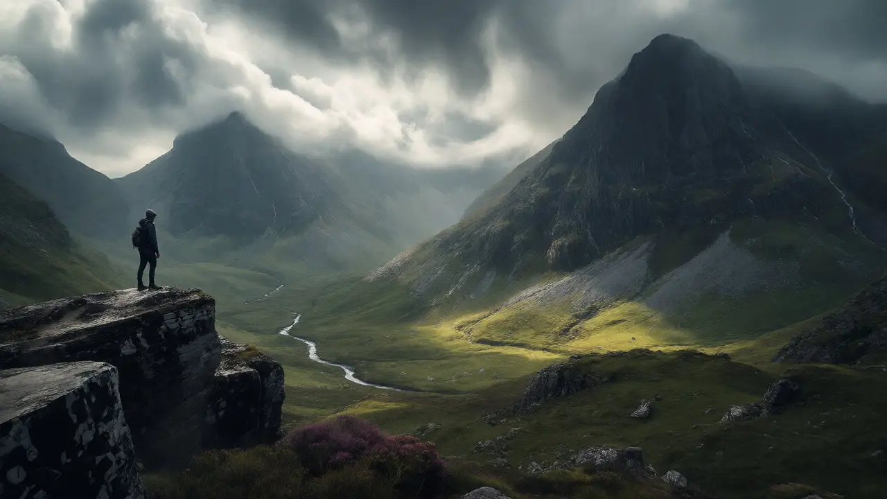
You’ve seen the photos. The jagged peaks of Glencoe piercing through low-hanging clouds, with dark lochs reflecting the grey sky below. It looks like something out of a fantasy novel, doesn’t it? But if you’re standing at the foot of these mountains, ready to lace up your boots, that romantic view can quickly turn into a logistical nightmare if you don’t know what you’re getting yourself into. I live in Dundee, just a short drive away, and I’ve watched countless hikers underestimate this place. They come for the scenery but leave because of the wind, or worse, they get stuck on a ridge when the fog rolls in faster than they expected.
This isn’t just about picking a path on a map. Glencoe is one of the most dramatic landscapes in the Scottish Highlands, known for its steep gradients and unpredictable microclimates. Whether you are tackling the iconic Three Sisters of Glencoe or just wanting a gentle walk by Loch Leven, knowing the terrain changes everything. Let’s break down exactly which trails fit your fitness level, how to handle the notorious weather, and why those "easy" paths might actually be harder than they look.
Understanding the Terrain: Why Glencoe Is Different
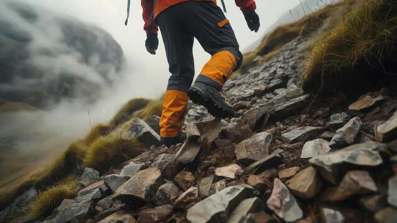
Before we talk about specific routes, you need to understand what makes Glencoe special-and dangerous. Unlike the rolling hills of the Lowlands, Glencoe features sharp ridges, loose scree slopes, and deep valleys. The geology here is volcanic, created by massive eruptions millions of years ago. This means the rock is often unstable. You’ll encounter scree-loose stones that shift underfoot-on almost every ascent. If you slip, you don’t just slide; you tumble.
The weather is another beast entirely. In the UK, we have a saying: "If you don’t like the weather, wait five minutes." In Glencoe, that’s not an exaggeration. A sunny morning in Fort William can turn into a whiteout blizzard on the summit of Ben Nevis (which overlooks the glen) within an hour. The wind speeds here regularly exceed 100 mph on exposed ridges. I’ve seen experienced hikers from warmer climates struggle because they didn’t pack enough layers. Always check the Mountain Weather Information Service before you go. Don’t rely on your phone’s local forecast; look specifically for "Glen Coe" or "Rannoch Moor" conditions.
The Iconic Routes: Three Sisters and Beyond
If you only do one hike, it’s probably the Three Sisters of Glencoe. These three prominent peaks-Beinn Fhada, Gearr Aonach, and Bealach na Bà-form the backbone of the glen’s northern side. The classic route starts from the Clachaig Inn.
Here’s the reality check: while many blogs call this a "moderate" hike, it’s deceptive. The initial climb from the inn is steep and relentless. You gain over 800 meters in elevation in just a few kilometers. Once you hit the ridge, the path narrows. There are sections where you have to use your hands to scramble up rocks. It’s exhilarating, but if you suffer from vertigo, stick to the lower paths. The views from the top are arguably some of the best in Europe, looking straight down into the valley floor where the River Etive snakes through the greenery.
For those who want the drama without the extreme exertion, consider the Lost Valley. Located behind the Three Sisters, this area was historically used to hide cattle from raiders. Today, it’s a stunning basin surrounded by high cliffs. Accessing it requires crossing a stream that can become impassable after heavy rain. I recommend checking water levels locally or asking at the visitor center if recent storms have occurred.
Matching Trails to Your Fitness Level
Not everyone wants to scale a mountain. Glencoe offers options for all abilities, but you must match the trail to your actual fitness, not your ambition. Here is a breakdown of common routes based on effort and risk.
| Trail Name | Distance | Elevation Gain | Difficulty | Best For |
|---|---|---|---|---|
| Three Sisters Loop | ~7 km | ~850 m | Hard | Experienced hikers seeking views |
| Signal Rock Walk | ~4 km | ~300 m | Moderate | Families and casual walkers |
| Loch Leven Circuit | ~6 km | Minimal | Easy | Photographers and beginners |
| Buachaille Etive Mòr | ~10 km | ~1000 m | Very Hard | Mountaineers and endurance athletes |
The Signal Rock Walk is my go-to recommendation for first-timers. It follows an old military road and leads to a viewpoint overlooking the entire glen. The path is well-defined, mostly gravel, and manageable for children with sturdy shoes. You get the panoramic shot without the lung-burning climb.
On the other end of the spectrum is Buachaille Etive Mòr. This is a Munro (a Scottish mountain over 914 meters). It dominates the entrance to the glen. Climbing it takes a full day. The path involves significant scrambling and exposure to wind. Do not attempt this if you are new to hillwalking unless you are with a guide. The descent can be brutal on the knees due to the loose stone surface.
Safety First: Navigating Weather and Wildlife
Safety in Glencoe isn’t just about watching your step. It’s about preparation. The Mountain Rescue Teams in this region are volunteer-based and highly skilled, but they cannot save you if you haven’t prepared properly.
- Dress in Layers: Forget cotton. Wear merino wool or synthetic base layers. Bring a waterproof jacket and trousers, even if the sun is shining. Hypothermia sets in quickly when wet and windy.
- Navigation Skills: GPS batteries die fast in cold weather. Carry a physical map (OS Explorer 392) and a compass. Know how to use them. Fog can reduce visibility to zero in minutes.
- Tell Someone Your Plan: Leave your route details with someone back home or at your accommodation. If you’re late, they’ll know where to look.
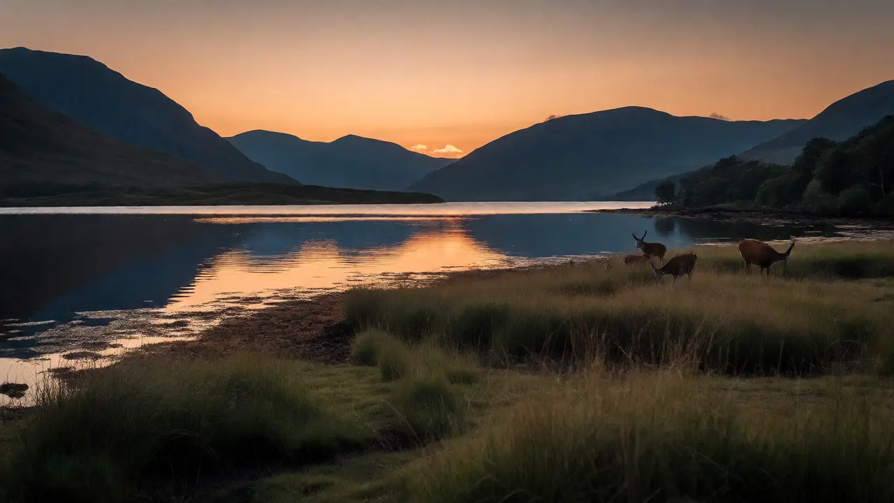
Wildlife is another factor. You’ll likely see Red Deer grazing near the lochs. They are generally shy, but during rutting season (autumn), stags can be aggressive. Keep your distance. Also, watch out for ticks, especially in the long grass near Loch Leven. Ticks are tiny, black arachnids that can transmit Lyme disease. Check your body thoroughly after any walk in tall vegetation.
Practical Logistics: Parking and Facilities
Let’s talk about the mundane stuff that ruins trips. Parking in Glencoe is limited. The main car park at Glen Etive fills up by 9 AM in summer. If you miss a spot, don’t try to squeeze onto the verge of the A82 road. That’s a recipe for disaster with speeding trucks passing by.
Facilities are sparse. There are toilets at the visitor center and the Clachaig Inn, but nowhere else. Plan accordingly. There are no shops inside the glen itself, so bring all food and water. Tap water in the streams is usually safe, but treating it with purification tablets is safer, especially downstream from sheep farms.
Accommodation books out months in advance. The Clachaig Inn is legendary among hikers for its atmosphere and hearty meals, but it’s expensive. If you prefer camping, wild camping is legal in Scotland under the Land Reform Act, provided you follow the guidelines: camp away from roads and buildings, leave no trace, and stay only one or two nights per spot.
Final Thoughts Before You Go
Glencoe rewards those who respect it. It’s not a theme park; it’s a raw, powerful landscape. Start with shorter walks to gauge the conditions. Build up your stamina. And always, always prioritize turning back over pushing for the summit if the weather turns. The mountain will still be there tomorrow. You might not be if you push too hard in a storm.
Ready to explore more of the Highlands? Consider visiting nearby Fort William for gear supplies, or head south towards Oban for seafood after your hike. Each step in Glencoe connects you to centuries of history and geology, making every mile worth the effort.
Is Glencoe suitable for beginners?
Yes, but choose your trails carefully. Avoid the Three Sisters and Buachaille Etive Mòr initially. Stick to the Signal Rock walk or the Loch Leven circuit, which offer great views with minimal elevation gain and well-marked paths.
How difficult is the Three Sisters hike?
It is considered moderate to hard. While the distance is short (around 7km), the elevation gain is significant (over 800m), and the terrain includes steep ascents and scrambling sections. It requires good fitness and proper footwear.
What is the best time of year to visit Glencoe?
Late spring to early autumn (May to September) offers the most stable weather and longest daylight hours. However, winter visits are spectacular for experienced hikers with crampons and ice axes, though days are very short and conditions harsh.
Do I need a permit to hike in Glencoe?
No, there are no permits required for general hiking. Wild camping is also permitted under Scottish access rights, provided you follow the Outdoor Access Code. Just ensure you pay parking fees where applicable.
Can I hike Glencoe in winter?
Yes, but it becomes a mountaineering activity rather than hiking. You will need winter gear, including microspikes or crampons, an ice axe, and knowledge of avalanche awareness. Daylight is limited, so start early.