
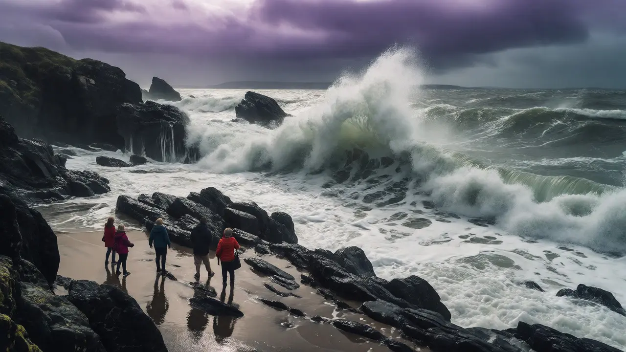
You think you have a solid hour to walk along the sands at Camber Sands or explore the caves at Fingal's Cave? Think again. In Scotland, the sea doesn't just come in; it rushes. I’ve seen tourists stranded on rocks because they checked a static map instead of a live tide table. The difference between a pleasant stroll and a rescue helicopter call-out is often just twenty minutes of ignored timing.
Scottish coastal conditions are defined by extreme tidal ranges and unpredictable weather patterns that shift rapidly across the North Sea and Atlantic Ocean. Unlike the Mediterranean, where tides barely move, Scotland’s coastline experiences some of the most dramatic water level changes in Europe. Understanding this isn't optional if you want to stay dry-or alive.
The Reality of Scottish Tidal Ranges
Most people assume tides are slow. They aren't here. In places like the Solway Firth, the tidal range can hit over 10 meters (33 feet). That means the shoreline moves miles inland during a high tide cycle. If you park your car near the water's edge at low tide, you might return to find your vehicle surrounded by water, not because of a storm, but because the moon pulled the ocean toward you.
The physics behind this involves gravitational pull from the moon and sun, combined with the shape of the seabed. Narrow channels, like those around Orkney or Shetland, accelerate water flow, creating dangerous currents even when the surface looks calm. A gentle breeze can mask a current moving at three knots, which is faster than most swimmers can sustain.
Identifying Coastal Hazards Before You Step Off the Path
Hazards in Scotland aren't just about getting wet. They are about being trapped. Here are the specific threats you need to spot:
- Rip Currents: These are narrow channels of fast-moving water flowing away from shore. They don't drag you under; they drag you out. Look for gaps in the breaking waves, darker water, or debris moving steadily seaward.
- Cut-off Points: Many beaches, especially on the west coast, have headlands that become islands at high tide. Check local signage. If there's no sign, assume the path disappears.
- Sandbars and Holes: The seabed shifts constantly. What was a shallow pool yesterday could be a deep hole today. This is critical for families with children who might wander into deeper water unexpectedly.
- Weather Whiplash: It can be sunny in Dundee and gale-force winds in St Andrews simultaneously. Fog rolls in quickly, reducing visibility to zero within minutes. Never rely on the view from your starting point.
Reading the Water: Practical Tips for Beachgoers
You don't need a marine biology degree to read basic danger signs. Start by looking at the wave pattern. Consistent, parallel lines usually mean safe swimming zones. Chaotic, crisscrossing waves indicate conflicting currents or shallow reefs.
Another trick is to watch the birds. Seabirds diving repeatedly in one spot often signal fish schools, but also strong upwellings. If you see foam accumulating in a line stretching out to sea, that’s likely a rip current channel. Avoid it. Swim parallel to the shore to escape, not against the current.
Also, consider the wind direction. Onshore winds push water higher and create steeper, more powerful waves. Offshore winds can make the water look deceptively flat while pulling you away from land. Always face the wind when assessing conditions; it gives you a better sense of how the air is interacting with the water surface.
Tide Tables vs. Live Data: Why Your Phone Matters
Paper tide tables are accurate for predicted times, but they don't account for atmospheric pressure changes or storm surges. A low-pressure system can raise sea levels by half a meter above prediction. That extra half-meter is the difference between walking past a rock formation and needing to climb it.
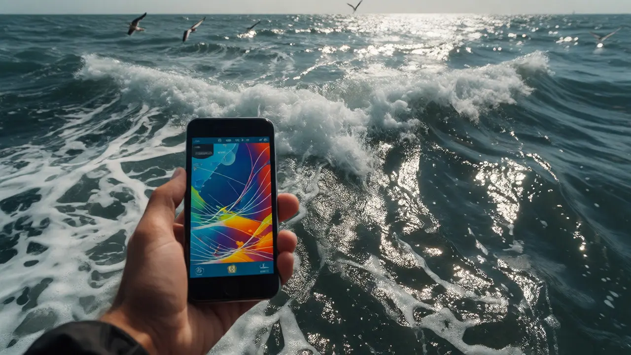
This is why digital tools are essential. Modern apps integrate real-time data from buoys and satellites. They adjust predictions based on current weather models. For anyone spending more than an hour on the coast, relying solely on a printed chart is risky.
| App Name | Primary Strength | Offline Capability | Best For |
|---|---|---|---|
| Admiralty EasyTide | Official UK Hydrographic Office data | Limited | Precise high/low tide times |
| Windy.com | Detailed wind/wave visualization | Yes (download maps) | Assessing surf and wind conditions |
| Met Office Weather | Official warnings and forecasts | No | Storm alerts and rain radar |
| Tides Near Me | User-friendly interface | Partial | Quick checks for casual visitors |
Essential Apps for Coastal Navigation
If you only download one app, make it Windy.com. It provides visual layers of wind speed, wave height, and cloud cover that are intuitive enough for beginners but detailed enough for sailors. You can see exactly where the swell is hitting the coast before you leave your hotel.
For pure tide data, the Admiralty website is gold standard. However, their app experience is clunky. Many locals prefer using the BBC Weather app combined with a simple tide calculator widget. The key is having multiple sources. If Windy says waves are 2 meters and the Met Office says 'moderate,' trust the number. Numbers don't lie; adjectives do.
Remember, cell service on remote Scottish beaches is spotty. Download offline maps and save tide data for your specific location before you lose signal. There is nothing worse than standing on a rising tide with a spinning loading icon on your phone screen.
What To Do If You Get Caught Out
So, you misjudged the time. The water is up to your knees, and the return path is gone. Don't panic. Panic leads to poor decisions, like trying to swim across a channel you wouldn't attempt in daylight.
- Move High: Immediately seek the highest ground available. Rocks, dunes, or man-made structures. Stay off the sand if possible, as it gets saturated and cold.
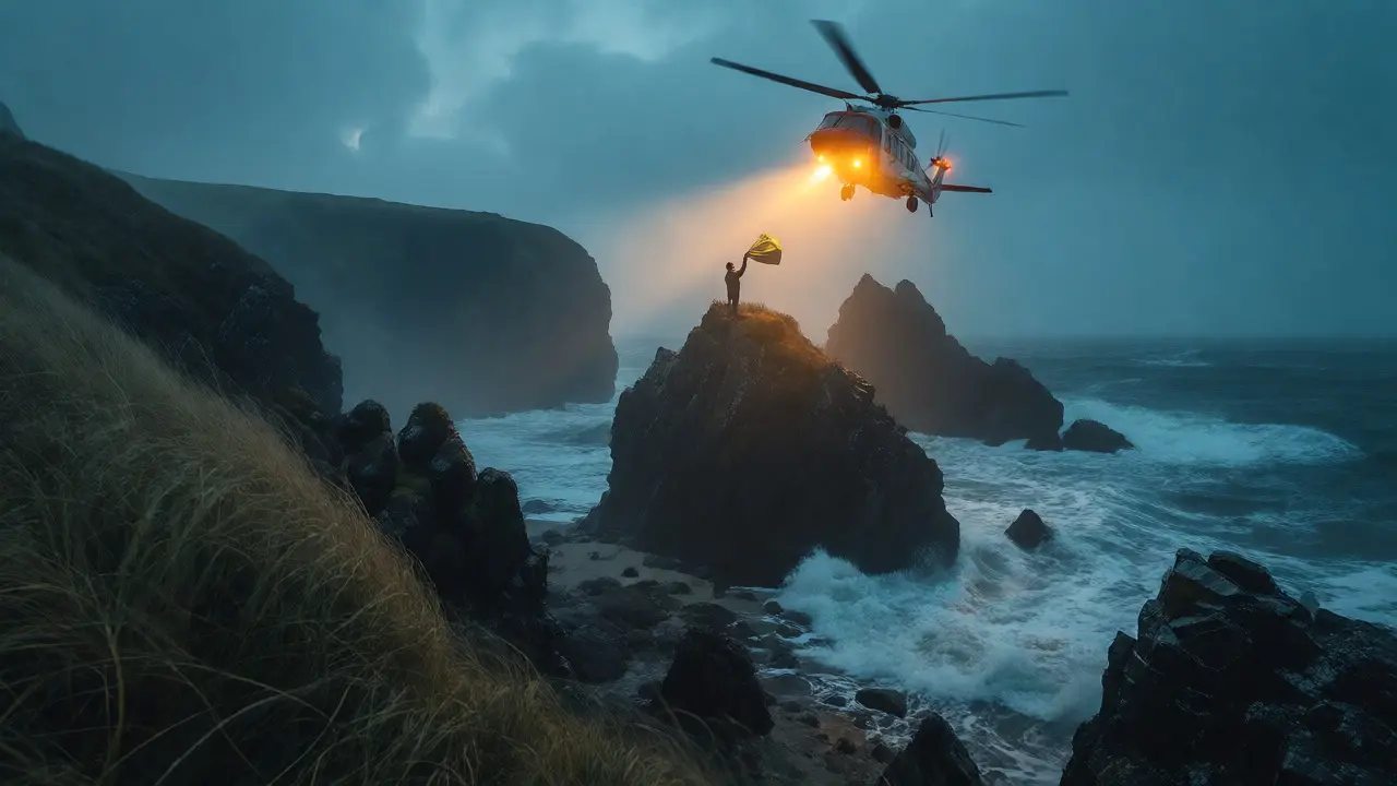
- Call for Help Early: Dial 999 and ask for the Coastguard. Do not wait until you are waist-deep. Describe your location precisely using landmarks or GPS coordinates from your phone.
- Stay Visible: Wave brightly colored clothing. If you have a flashlight, use it, even during the day. Rescue teams scan for movement and contrast.
- Do Not Enter Water Unless Necessary: Cold water shock is real. Even in summer, Scottish waters hover around 12-14°C. Immersion triggers gasping reflexes that can lead to drowning within seconds. Only enter the water if you must swim to safety and you are confident in your ability.
Local Knowledge Beats Global Rules
Every beach has its quirks. The bay next door might be safe while yours is treacherous due to underwater geography. Ask locals. Fishermen, dog walkers, and lifeguards know the subtle shifts in sandbanks that change every season. They can tell you which part of the beach floods first or where the currents converge.
Respect red flags. If a flag is flying, do not swim. Lifeguards place them based on real-time risk assessments, not guesswork. Ignoring them puts your life and theirs at risk. Remember, many Scottish beaches are unpatrolled. No flag doesn't mean safe; it means you are responsible for your own assessment.
How much notice do I get before a storm surge hits?
The Met Office typically issues storm warnings 24 to 48 hours in advance. However, sudden squalls can develop in under six hours. Always check the latest forecast on the morning of your trip, not just the night before.
Are Scottish beaches safe for children?
Yes, provided you stick to patrolled areas and understand tide times. Unpatrolled beaches require constant supervision. Children should never play below the high-water mark unless an adult is present and aware of the incoming tide schedule.
What is the best time of day to visit Scottish beaches?
Mid-tide is generally safest for walking, offering maximum beach area without immediate risk of cut-offs. However, always check the specific tide table for your location, as 'mid-tide' varies daily. Sunrise offers calmer seas but colder temperatures.
Can I predict tides without an app?
You can estimate using the 'Rule of Twelfths,' which approximates tide rise/fall based on time since high/low tide. But for safety-critical decisions, always verify with official data. Estimates fail during storm surges or unusual lunar alignments.
Is it safe to drive on Scottish beaches?
Only on designated tracks and when the tide is fully out. Sand consistency changes rapidly. A car can sink in soft sand within minutes. Check local council rules, as driving bans apply to many popular spots to protect wildlife and dunes.
Final Thoughts on Preparation
Scotland’s beauty lies in its wildness, but that wildness demands respect. Prepare properly. Check the tide. Check the wind. Tell someone where you’re going. With these simple steps, you’ll enjoy the stunning coastline without becoming a news story.
Comments (10)
-
Quintin Franzese September 16, 2026
Oh, fantastic. Another article telling me that water is wet and the moon exists. I suppose next you'll warn us that fire burns? Thanks for the reminder that nature wants to kill us, which we already knew from every single survival documentary ever made.

-
Brandon Olvera September 16, 2026
Listen here, you soft-handed tourists. This isn't a theme park ride in Florida where you can just wade around in lukewarm bathwater. Scotland demands respect or it will swallow you whole. You Americans think because you have AC you understand heat, but you don't understand cold biting into your bones while the tide tries to rip your legs off. Stop relying on your little phone screens like they are gospel truth. Use your eyes. Look at the sky. If it looks angry, get out. We don't need helicopter rescues for people who can't read a basic map. It's embarrassing.

-
michelle veluz September 18, 2026
Wait... wait just a minute!!! Do you see what they are doing here?? They push these apps so hard!! Windy.com? Admiralty? Who owns them?? Is it Big Tech trying to track our location data while we walk on the beach?? I bet they sell our coordinates to insurance companies so they can raise premiums when we go near the water!! It’s all connected!!! The tides aren't natural anymore, they are manipulated by lunar cycles AND corporate agendas!! Don't let them fool you with their 'official' data!!!

-
Deb Kortyna, MBA September 18, 2026
I must express my profound concern regarding the casual dismissal of digital tools mentioned in the final paragraphs. While one may prefer traditional methods, the accuracy provided by real-time satellite integration is not merely a convenience; it is a critical safety factor. To suggest that printed charts are sufficient ignores the variable nature of atmospheric pressure systems. One ought to exercise extreme caution before disregarding technological advancements in favor of anecdotal local knowledge. Precision is paramount when dealing with lethal environmental conditions.

-
Tamara Miller September 20, 2026
Ugh, finally someone said it!!! People are so lazy nowadays, seriously. Just download an app and check the wind speed??? Wow, such effort. But then again, most people wouldn't know a rip current if it grabbed them by the ankles. It’s always the same story. Ignore the signs, ignore the locals, then cry when you’re waist-deep in freezing mud. Typical. Absolutely typical behavior. And don’t even get me started on driving on beaches. Who does that?? It ruins the dunes, it scares the wildlife, and it shows a complete lack of moral responsibility towards the environment. Shameful really.

-
Anthony Miller September 20, 2026
You call this advice? It is woefully inadequate. You speak of 'respecting wildness' as if the ocean cares about your feelings. It does not. The ocean is indifferent to your existence. Your entire premise relies on the assumption that humans can predict chaos with simple apps. This is arrogance. Pure, unadulterated arrogance. You sit in your warm houses and tell others how to survive in conditions that would break them. Do not presume to teach survival to those who live it daily. Your 'tips' are trivialities meant to soothe the conscience of those who have never faced true danger.

-
alex kobri September 22, 2026
there is something poetic about the indifference of the sea
we try to tame it with numbers and tables but it remains untamed
maybe the danger is part of the beauty
i dont mind getting wet if i feel alive
its better than being safe and bored
let the tide come
we will adapt or we will float
either way its interesting

-
Savara Gunn September 23, 2026
This is actually really helpful info! I’ve been thinking about planning a trip up there soon and was worried about the logistics. The tip about downloading offline maps is gold, honestly. Cell service is definitely spotty in some of those remote areas. I’ll make sure to pack extra layers too since you mentioned the temperature drops fast. Good luck to everyone heading out!

-
Zach Loescher September 23, 2026
I appreciate the balanced perspective here. It seems like there is a tension between relying on technology and trusting local intuition. Both seem valid depending on the specific situation. Maybe the key is using both together rather than choosing one over the other. It is interesting to consider how different cultures approach risk assessment in coastal environments.

-
Susan Cole September 25, 2026
Please keep discussions respectful. We are sharing experiences here, not attacking each other's lifestyles. Everyone has different comfort levels with risk. Let's focus on the useful information provided about tides and hazards without turning this into a debate about who knows best.
